
Science and Space
Lake Powell hits record-low 3,517.24 ft on Landsat view
What happened
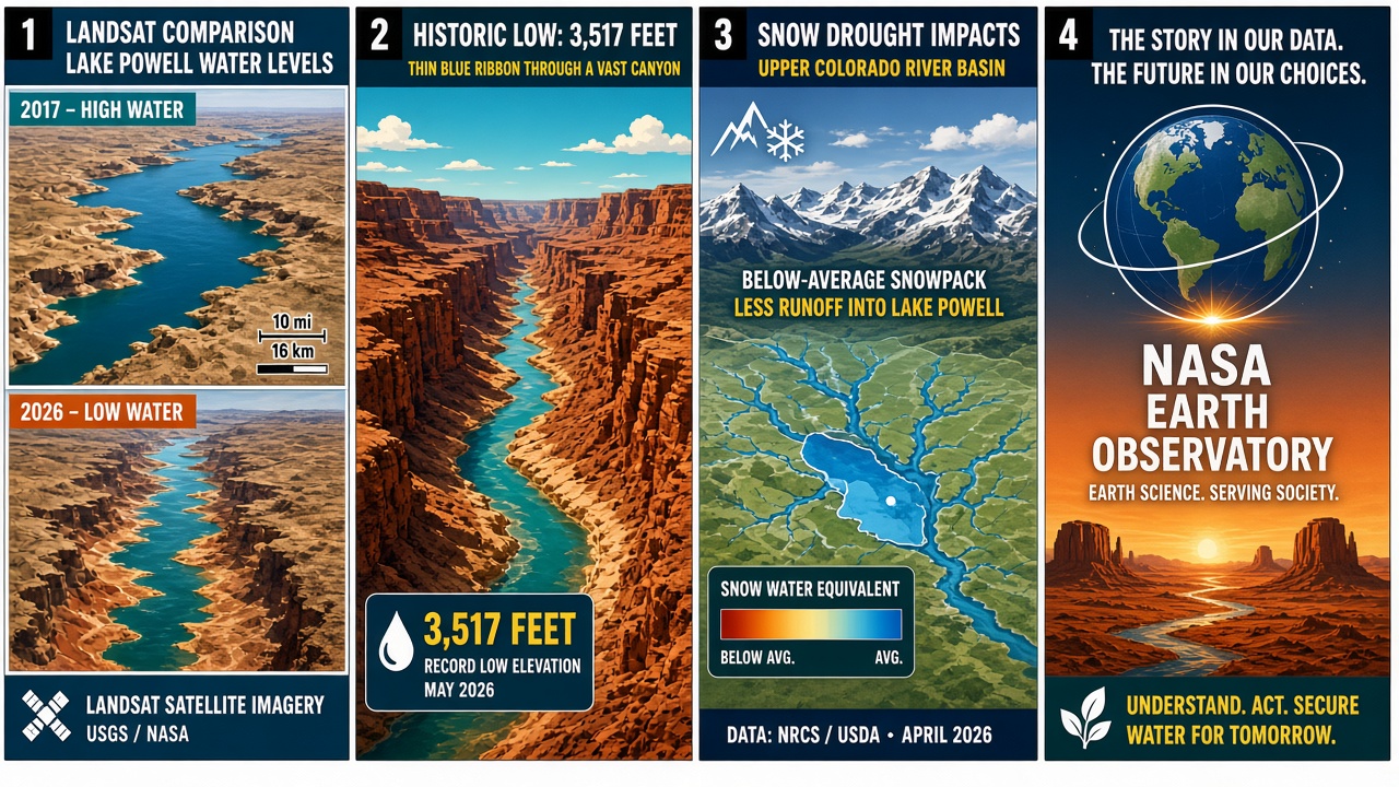
NASA Earth Observatory’s Image of the Day for September 18, 2026, by Lindsey Doermann, with images by Lauren Dauphin from Landsat 8, shows Lake Powell at a new record-low surface elevation. On September 10, 2026, the reservoir sat at 3,517.24 feet — below the prior record of 3,519.92 feet set April 13, 2023. That is the Science filing: a dated satellite pair, a measured elevation, and a Colorado River storage story told in canyon walls.
Powell first crossed the prior record on August 15, 2026. The drop tracks a snow drought across the Upper Colorado River Basin in winter 2025–26; Lake Mead also reached a record low in August 2026. Even at the new mark, Powell remains above the minimum power pool of 3,490 feet. The U.S. Bureau of Reclamation took intervention steps in April 2026 as forecasts tightened. Bright canyon red and Landsat blue. White gutters. If comic art stamps a wrong month such as May 2026 on the elevation card, verified prose overrides the panel — the record reading is September 10, 2026, at 3,517.24 feet after first hitting the prior mark on August 15. Stick to the Earth Observatory numbers and skip politics framing around water policy fights.
Science packages prefer a clear measurement claim over slogans. Readers get Doermann’s Sept. 18 IOTD, Dauphin’s Landsat 8 frames, Sep 10 elevation 3,517.24 ft vs the Apr 13 2023 mark of 3,519.92 ft, the Aug 15 first-record crossing, the 2025–26 Upper Colorado snow drought, Mead’s August 2026 record low, the 3,490-ft minimum power pool cushion, and USBR’s April 2026 interventions — a Sunday science comic without inventing secret signals.
Why it matters
A Landsat before-and-after that stamps a new reservoir floor is the strip: high-vs-low water pair, thin blue ribbon through exposed red rock, snow-drought basin map, Earth Observatory data board. Color on the canyon walls and the blue ribbon. White gutters. Keep politics out. Keep the NASA URL on the page. Readers get the verified elevation, the prior 2023 record, the Mead parallel, the power-pool floor, and the source URL — not a May date from mislabeled art.
Conclusion
NASA Earth Observatory’s Sept. 18, 2026 Image of the Day by Lindsey Doermann, with Lauren Dauphin’s Landsat 8 images, shows Lake Powell at a record-low 3,517.24 feet on September 10, 2026 — below the prior 3,519.92-foot mark of April 13, 2023 — after first hitting the record August 15 amid a 2025–26 Upper Colorado snow drought, with Lake Mead also at a record low in August 2026, the pool still above the 3,490-foot minimum power pool, and U.S. Bureau of Reclamation interventions noted from April 2026. Source: https://science.nasa.gov/earth/earth-observatory/lake-powell-drops-to-record-low-levels/
Source: NASA Earth Observatory